The landscape of the United States was once a mystery. Curiosity led men to discover its diverse terrain over many years. This relief map offers a birds-eye view of the USA, which uses ALOS Digital Surface Model data that is magnified before exaggerating elevations to create a compelling map. All 50 states are represented on the map, which is produced on a 12-color gicleé printer using premium inks for intricately detailed, fade-free visuals. The maps are printed on archival paper in the USA and certified to last 100 years.
Sale!


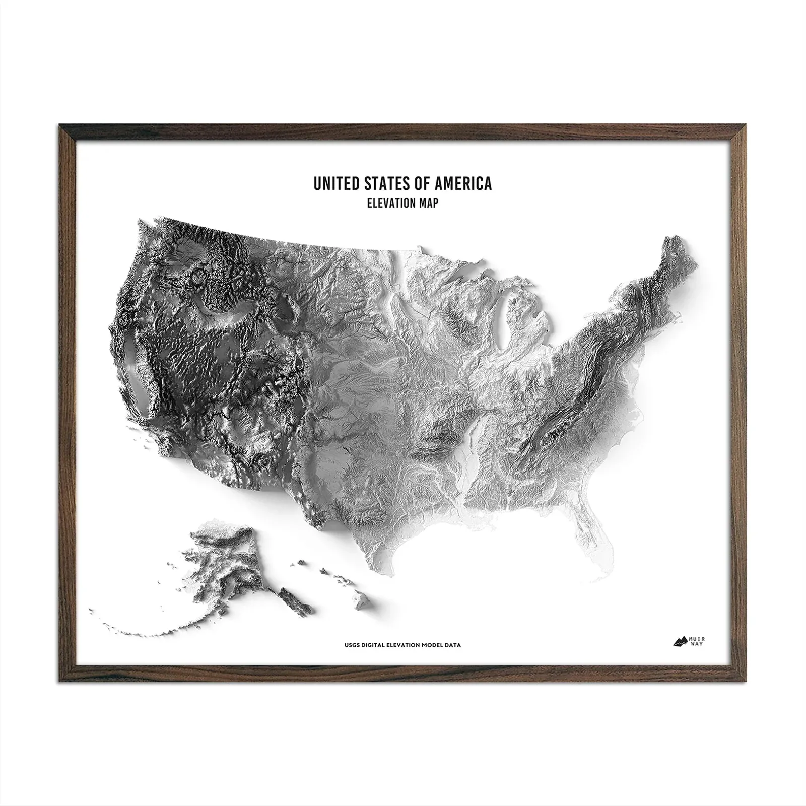


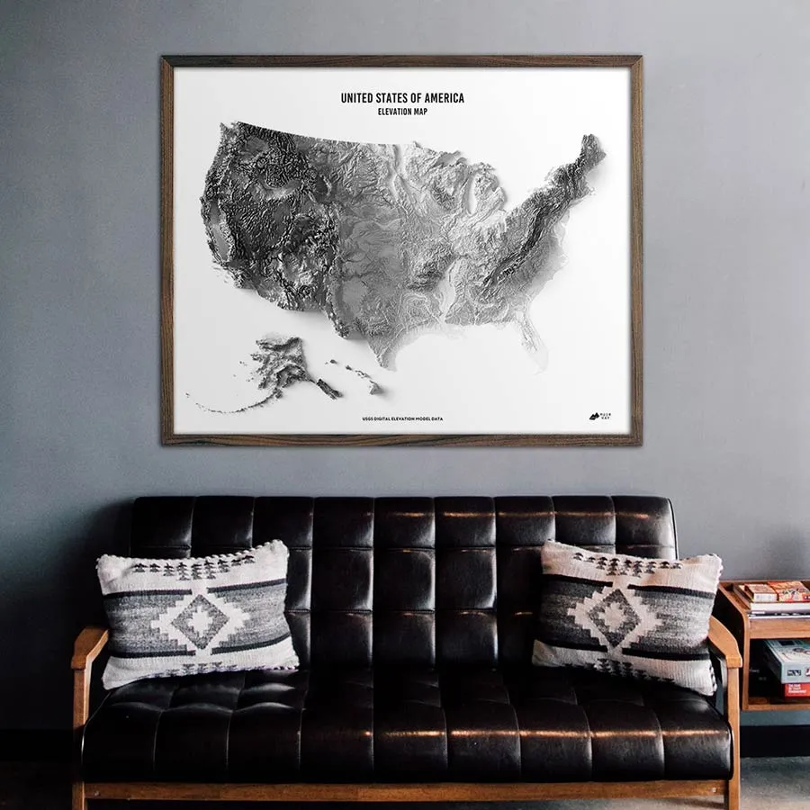
USA Elevation Map
Original price was: €60.00.€48.00Current price is: €48.00.
Related products
-
Sale!
Sale!
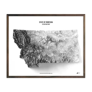

Montana Elevation Map
Original price was: €60.00.€48.00Current price is: €48.00. -
Sale!
Sale!


California Elevation Map
Original price was: €60.00.€48.00Current price is: €48.00. -
Sale!
Sale!


New York Elevation Map
Original price was: €60.00.€48.00Current price is: €48.00. -
Sale!
Sale!
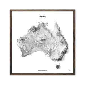
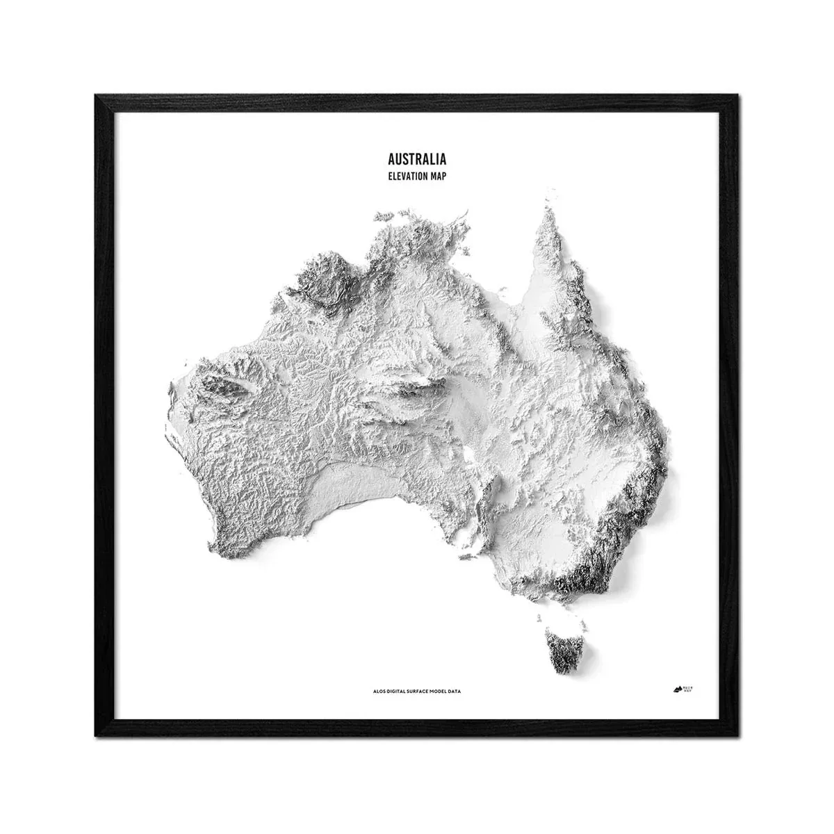
Australia Elevation Map
Original price was: €68.00.€54.40Current price is: €54.40.
Reviews
There are no reviews yet.