Big Sky Country is the focus of this museum-quality elevation map. The map explores the state of Montana, with its diverse terrain that includes a hundred or more named mountain ranges in the western half of the state. The map magnifies the terrain features with exaggerated elevations for an effect that is compelling and beautiful. Each map is produced on a 12-color gicleé printer using premium inks for intricately detailed, fade-free visuals. They are printed on archival paper in the USA and certified to last 100 years.
Sale!


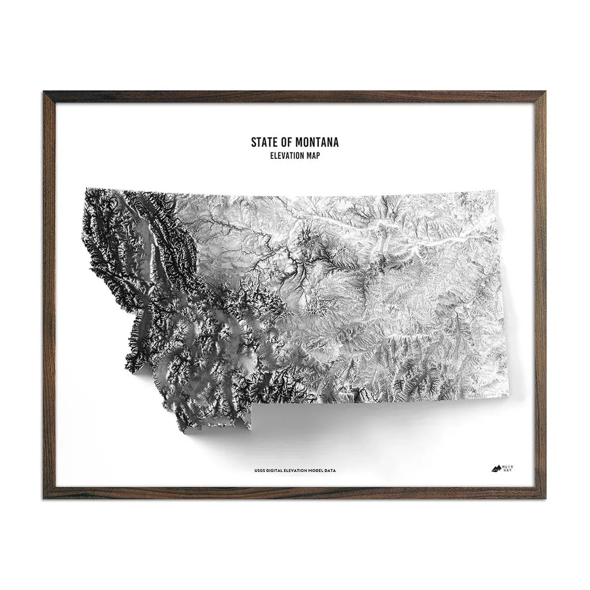

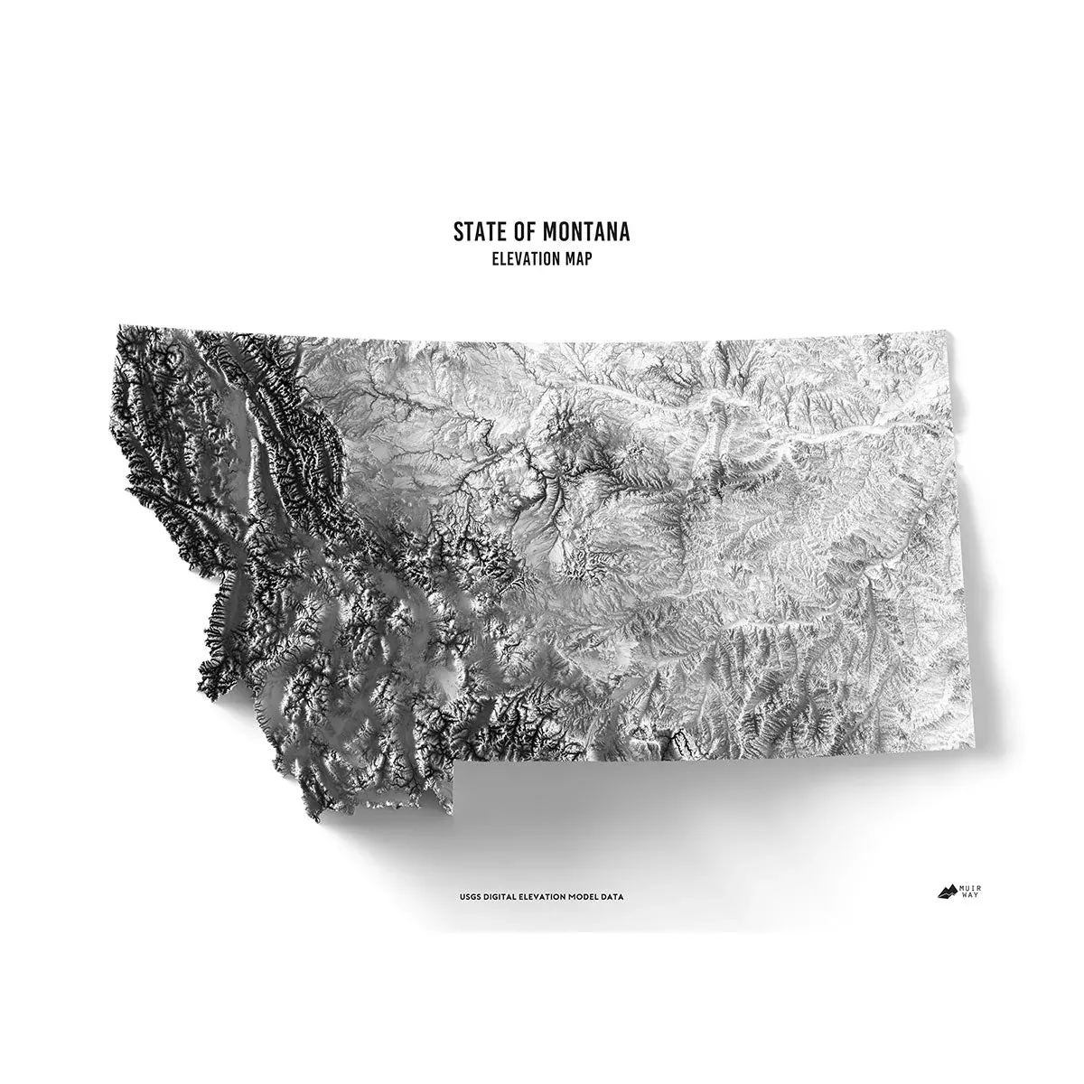
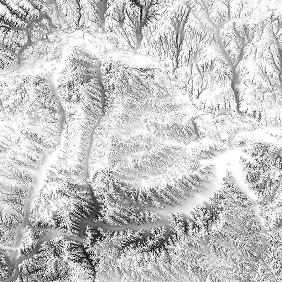
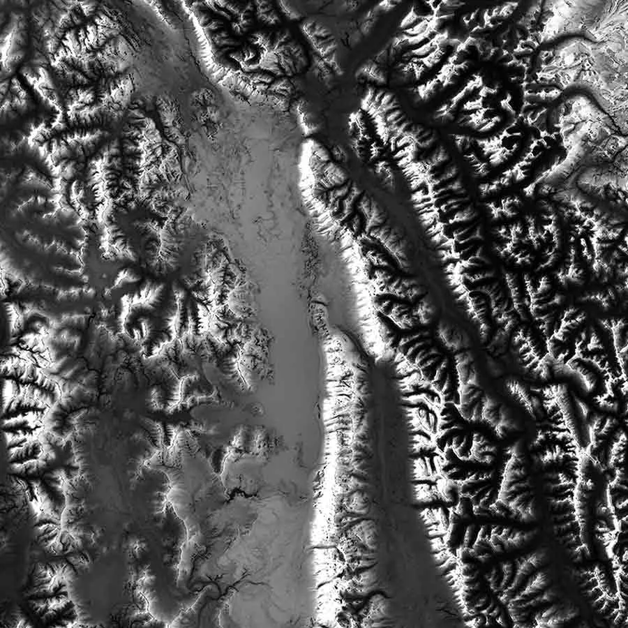

Montana Elevation Map
Original price was: €60.00.€48.00Current price is: €48.00.
Related products
-
Sale!
Sale!


Mexico Elevation Map
Original price was: €60.00.€48.00Current price is: €48.00. -
Sale!
Sale!
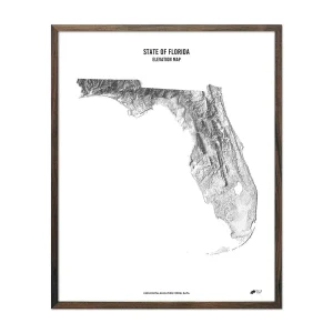

Florida Elevation Map
Original price was: €60.00.€48.00Current price is: €48.00. -
Sale!
Sale!


USA Elevation Map
Original price was: €60.00.€48.00Current price is: €48.00. -
Sale!
Sale!


New York Elevation Map
Original price was: €60.00.€48.00Current price is: €48.00.
Reviews
There are no reviews yet.